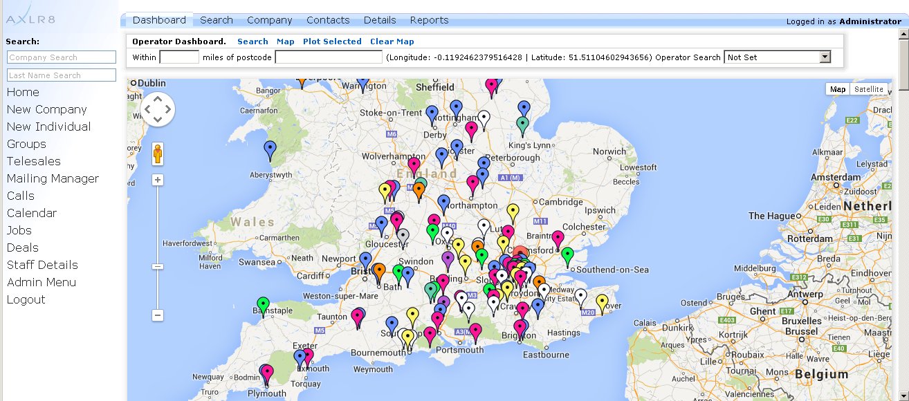
Allows you to see your clients and staff as colour pointers on maps using integration with Google Maps 3.0. Used for deploying staff at optimal distance between their home and the project activity location or job site. Also used for planning sales trips and clustering work for engineers. The name is derived from the fact that it helps travel and is implemented as one of the standard AXLR8 dashboards when users open the AXLR8 CRM on their browsers.
All map points including clients and staff, assets and vehicles, stores and work sites are drawn from the AXLR8 database.